
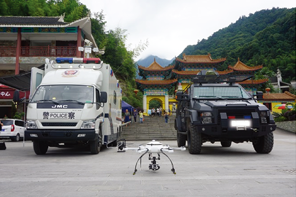
Public security
It is need to strengthen the rapid reaction capability of the public security system and improve the quality of police equipment. We have provided several UAV enterprises with customized police UAV systematic solutions, which have demonstrated skills in traffic patrol, security monitoring and other fields.
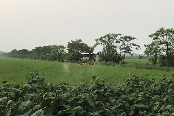
Agricultural protection
In recent years, with the rapid development of the new plant protection machinery research and development and application in our country, significant changes have taken place in the current situation of crop diseases and pests control in our country. High working efficiency, less labor, wide applicable range of large and medium-sized plant protection machinery and agricultural aviation plant protection machine are becoming more and more popular to farmers. AY drone established agricultural drone department since 2015 and accumulated rich design experiences. The high precision of control system ensures the safety of flight operation at night. AY Drone focuses on the development of a high performance UAV system, which will contribute to the new era of agriculture.
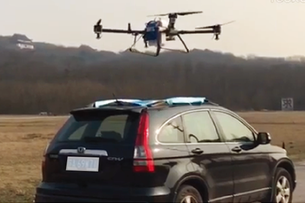
Long-distance logistics
In recent years, with the rapid development of e-commerce in rural and mountainous areas , e-commerce channels have become increasingly prominent in how to solve the last mile of distribution in rural and mountainous areas. At present, AY Drone cooperated with a Japanese company - BlueBee and developed a drone with visual identification, automatic planning route and 50kg load weight, which is in the final testing stage. In the future, it will be mainly used in the logistics of mountainous area, island countryside and other areas.
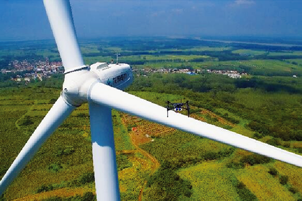
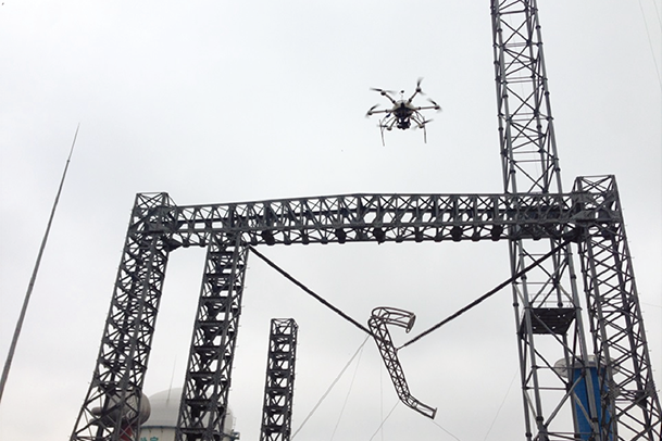
Wind power unit monitoring
China has abundant wind energy resources, and the development of wind power development is accelerating. At the same time, the market, such as unit inspection and maintenance, has been hindered by environmental, technological and labor factors.
UAV detection is three times more efficient than traditional manual detection and cost nearly 50% savings .On this basis, we bring new solution WPPS.
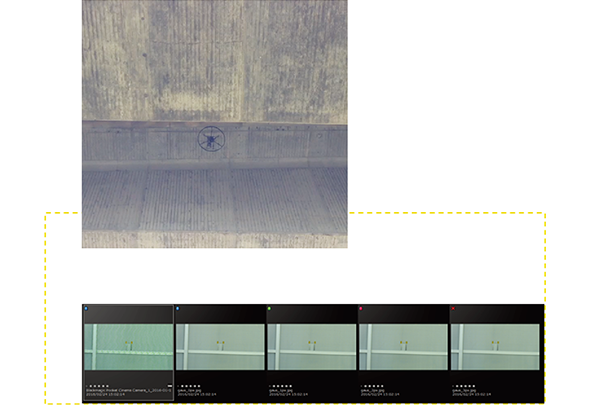
Our new generation of S0 flight control adopts Qianxun service RTK differential system and combines with the wind version test ground station software to process and analyze image. Then the drone with advanced sensors and high definition 30 times zoom camera can be used for detection.
We are using Qianxun locating service to solve the origin home point problem of base station. Save flight path to improve efficiency for repeat inspection. Automatic zoom is carried out through the image processing on the ground control station to ensure that there is no inspection area omitted.
The system will automatically generate the remaining points and flight paths according to the selected tip points and the center of the wind wheel. The ground station software combines three-dimensional modeling to build a model for each wind power unit. The ground station is marked by combining photographs with three-dimensional models. The three-dimensional image management library is formed to facilitate the later analysis and research. The long-term tracking test report can be formed by the interaction of drone and server.
 Wechat ID : aydrone